Scotland’s north and north-east are staring down the barrel of serious trouble this week. The Met Office has slapped a yellow weather warning across huge parts of the Highlands, Aberdeenshire, Moray, and Perth and Kinross from midday Wednesday right through to midday Friday.
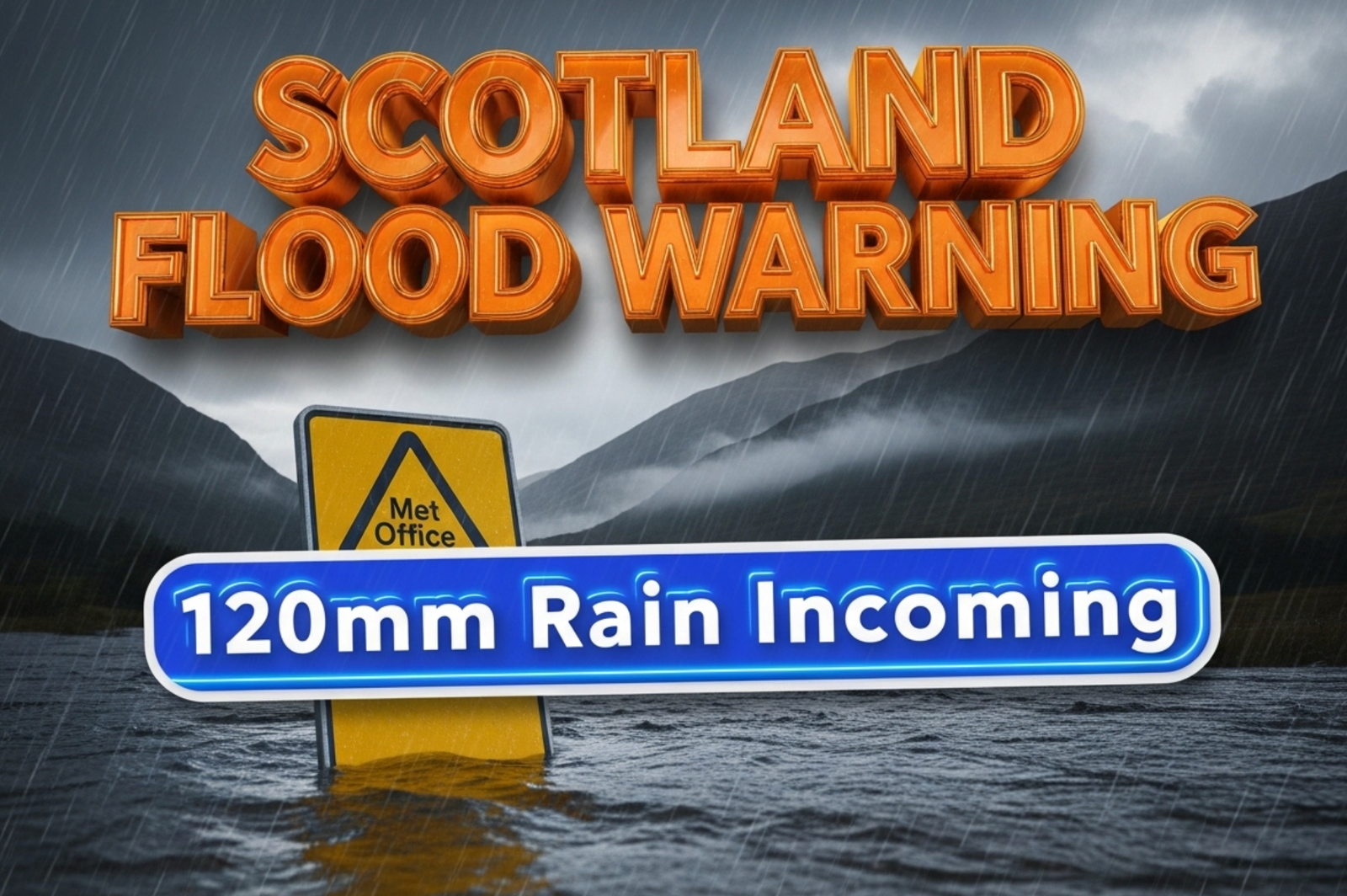
Forecasters say up to 120mm of rain could hammer the highest ground, with 30-60mm expected almost everywhere else. That’s one to two months’ worth of rain in just 48 hours, falling on ground already soaked from weeks of wet weather and melting snow.
Communities are being told to get ready now, because flooding is looking very likely.
Exact Areas in the Firing Line
The yellow warning covers a massive zone stretching from Fort William in the west to Fraserburgh on the east coast, and from Ullapool down to Blair Atholl.
Key towns and cities inside the warning area include:
- Inverness
- Aberdeen
- Aviemore
- Pitlochry
- Elgin
- Peterhead
- Braemar
- Grantown-on-Spey
The heaviest rain is expected across the Cairngorms, the north-west Highlands, and the hills around Loch Ness. Some spots here could easily see over 100mm by Friday morning.
Why This Storm is Different
The danger isn’t just the amount of rain. It’s the timing.
Deputy First Minister Kate Forbes said it perfectly on Tuesday: “The ground is absolutely saturated after the wettest start to any year on record in some places.”
Add melting snow from last week’s cold snap, and rivers are already running high. The Spey, Dee, Ness, and Findhorn are all being watched closely by SEPA, the Scottish Environment Protection Agency.
SEPA has already issued several flood alerts and at least three flood warnings as of Wednesday morning, with more expected later today.
Travel Chaos Already Starting
ScotRail has warned passengers to expect delays and cancellations from Wednesday afternoon onwards. The Highland Main Line and the Far North Line are most at risk.
Drivers are being told to avoid the A9 between Inverness and Aviemore if possible, and the A939 Cockbridge to Tomintoul road could close again if snow levels drop.
Ferry services to Orkney and Shetland are on amber alert for Thursday, with possible cancellations if the winds pick up as forecast.
What People on the Ground Are Saying
In Aviemore, local business owner Sarah MacLeod told us: “We’ve had tourists cancelling left, right and centre. People booked for the autumn colours, but now they’re worried about getting stuck.”
In Aberdeenshire, farmer Donald Cameron near Ballater said his fields are already like lakes. “Another big dump of rain and we’ll lose the winter barley that’s only just been drilled.”
How to Stay Safe This Week
The Scottish Government has activated its resilience operation. Here are the main pieces of advice being given to the public right now:
- Check your flood risk at sepa.org.uk/floodupdates before travelling
- Move valuables and furniture upstairs if you’re in a known flood area
- Avoid walking or driving through flood water, just 30cm of flowing water can float a car
- Keep an eye on elderly or vulnerable neighbours
- Charge phones and torches in case of power cuts
The Met Office says the rain will turn increasingly to snow over high ground from Thursday night into Friday, which could actually ease the flooding risk slightly in places like the Cairngorms, but create fresh problems on roads.
This is shaping up to be one of the most serious rain events in northern Scotland since Storm Babet exactly one year ago, which caused devastating flooding and sadly took lives.
Everyone hopes the forecast is wrong. But right now, all the signs say communities need to prepare for the worst and hope for the best.
Stay safe out there, Scotland.
What do you think about this latest weather bomb? Are you battening down the hatches in the north? Drop your thoughts below and share your photos or videos using #ScotlandFloodWarning if you’re in the affected areas.


