Deep inside a remote Scottish loch, researchers have just found something that rewrites what we know about ancient human engineering. A 5,000-year-old artificial island, buried beneath shallow water, was built centuries before Stonehenge even existed. And what lies underneath its surface is far more surprising than anyone expected.
A Stone Island With a Shocking Secret
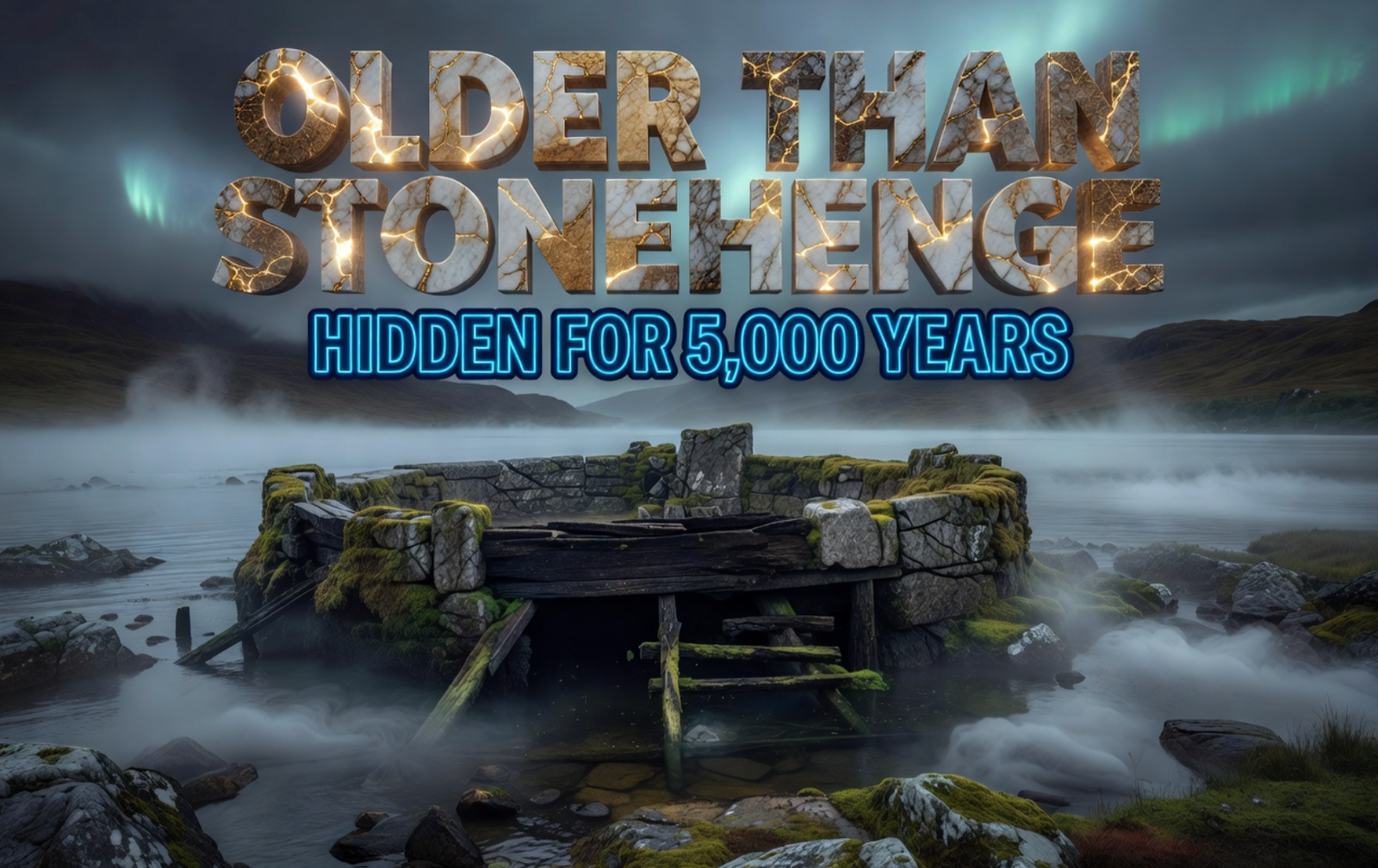
The site in Loch Bhorgastail on the Isle of Lewis, Scotland’s Outer Hebrides, appears today as a small stone-built island rising above the water. For years, that is exactly what everyone assumed it was.
Using innovative shallow-water photogrammetry, researchers from the University of Southampton and the University of Reading confirmed that the Loch Bhorgastail crannog, long believed to be a simple stone mound, was actually built upon a massive, sophisticated timber platform dating back over 5,000 years.
Radiocarbon dating placed the site’s earliest phase between 3640 and 3360 BCE, which is 200 to 500 years before the earliest construction phase of Stonehenge in southern England.
The crannog was first discovered in 2009 in Loch Bhorgastail on the Isle of Lewis. But the full story of what lies beneath only became clear through years of painstaking excavation and the use of cutting-edge technology.
How the Island Was Actually Built
What the researchers found below the stone was a complete surprise. As Dr. Stephanie Blankshein, an archaeologist at the University of Southampton, put it: “When we actually started excavating is when we realized that it was actually this coherent, quite large timber structure that was under what you would see as the stone island today.”
The original structure began as a massive circular timber platform approximately 23 meters wide. Builders constructed the island using layers of timber logs and brushwood placed carefully into the shallow loch waters. This created a stable base capable of supporting human activity.
The island was not built once and left alone. Generation after generation came back and rebuilt it.
| Time Period | Construction Activity |
|---|---|
| Neolithic (3640-3360 BCE) | Circular timber platform, 23 meters wide, topped with brushwood |
| Middle Bronze Age (approx. 1,500 BCE) | Second layer of brushwood and stone added |
| Iron Age (approx. 500 BCE) | Further stone activity and structural additions |
Successive generations returned to the same spot on the lake, reshaping the island to suit their own needs and traditions. That single fact alone speaks volumes about how sacred or significant this place must have been.
The Technology That Made It Visible
Studying a site like this has always been a serious challenge. Traditional archaeological methods work well either on land or in deeper water, but not in the narrow zone between them.
Professor Fraser Sturt, director of the Southampton Marine and Maritime Institute, described the frustration: “Fine sediments, choppy conditions, floating vegetation and distorted or reflected light all hinder shallow water imaging. Photogrammetry is very effective in deep water but runs into problems at depths of less than a metre. This problem is a well-known frustration for archaeologists.”
To crack this problem, the team built their own solution during 2021 fieldwork. They developed a new technique using two small, waterproof, low-light cameras mounted on a frame at a set distance apart. Maneuvered by a diver with centimeter-level accuracy, this setup allowed researchers to create a high-resolution 3D digital model of the entire continuous structure.
Underwater data were combined with drone imagery and land-based survey data, enabling the island and its submerged features to be mapped as a single, continuous whole. The approach was published in the journal Advances in Archaeological Practice by Cambridge University Press.
The method is repeatable and relatively low-cost, which means it can now be applied to hundreds of other underwater sites that have never been properly studied.
What the Pottery Is Telling Us
The waters around the island contained hundreds of fragments of Neolithic pottery, including pieces from jars and bowls. Some were found in strikingly good condition.
Scientists revealed that Neolithic Britons cooked cereals, including wheat, in pots to make early forms of gruel and stew. They also discovered people visiting these crannogs used smaller pots to cook cereals with milk and larger pots for meat-based dishes.
Here is what the pottery evidence points to collectively:
- Similar finds from other Outer Hebridean crannogs show signs of use before entering the water, including soot and food residues. That pattern suggests the vessels were not simply lost by accident. They may have been deliberately placed or thrown into the loch after use, possibly during communal meals, gatherings, or ritualized acts.
- Many of the pots analyzed were intact and decorated, which could suggest they had some sort of ceremonial purpose.
- Of the estimated 170 crannogs in the Outer Hebrides island chain, several have yielded large collections of near-complete Neolithic vessels, suggesting systematic, possibly ritualistic, deposition into the water.
A submerged stone causeway connects the crannog to the shore, showing that access was carefully arranged. The island stood apart from everyday life on land, but it was never fully unreachable.
That ambiguity sits at the heart of the mystery. This was a place clearly built with intention, used repeatedly, and treated with a kind of reverence that has survived five millennia.
What This Means for Prehistoric Britain
Once thought to belong mainly to the Iron Age, medieval, and post-medieval periods, crannogs are now forcing archaeologists to rethink how early farming communities in northwest Europe used water, islands, and monumental construction.
There are 570 man-made crannogs dotted throughout Scotland, with a particular concentration in the west and the Outer Hebrides. Yet most remain largely unstudied.
Only 10 percent of the crannogs have been radiocarbon dated and only 20 percent have been dated in any way at all. That means the majority of Scotland’s ancient artificial islands are still a complete mystery waiting to be solved.
The real revelation at Loch Bhorgastail is not just the island’s age. It is what the island says about the people who built it.
Although isolated in the Outer Hebrides, these communities were far from primitive. They understood woodworking, stone construction, navigation, and environmental management. The newly studied crannog at Loch Bhorgastail now provides powerful evidence that these ancient communities also mastered complex construction techniques in watery environments.
As Dr. Blankshein put it: “While we still don’t know exactly why these islands were built, the resources and labor required to construct them suggests not only complex communities capable of such feats, but also the great significance of these sites. Large quantities of pottery, often still containing food residue, and worked stone found on and around the islands, suggest their use for communal activities such as cooking or feasting.”
These were not scattered, struggling bands of hunter-gatherers. They were organized, skilled, and deeply connected to each other and to the land, and water, around them.
The story of the Loch Bhorgastail crannog is one of the most quietly powerful discoveries in recent archaeology. A small island in a remote Scottish loch turns out to be a five-thousand-year-old monument to human ambition, community, and ceremony, built long before Stonehenge, outlasting empires, and still speaking to us today. It is a reminder that what we do not yet know about our ancient past likely dwarfs everything we think we understand. What do you think this island was really used for? Drop your thoughts in the comments below.
 Runlayer Trial With Rippling Ends in Clone Lawsuit
  Finfluencer Tips Hold Steady as SEBI Registration Barely Moves
  KPIT Tech Q1 Beat Masks Outsourcing Tail from OEM Pain
  Air India Easy Connect Opens Amritsar to 27 Global Cities
  Gold Stalls Near $4050 as Iran Oil Shock Lifts Fed Hike Bets
  Brezza Facelift Drops Turbo Below Old Base and Locks Five Stars