
NEWS
Austen Soaks Scotland Before Boelo Brings Weekend Gales
Storm Austen soaks southern and eastern Scotland on 23 October; Boelo follows with 70-80mph gusts on wet ground and trees still in leaf.

Storm Austen is laying 20-40mm of rain across southern and eastern Scotland on Friday, 23 October, with 60-80mm possible in some places. A second named storm, Boelo (Boo-loh), arrives on Saturday with a yellow wind warning that runs for 27 hours.
The Met Office has aimed Austen’s strongest winds at south-west England. Deputy chief forecaster Chris Bulmer said Boelo would hit the opposite end of the country, with gusts of 70-80mph on exposed coasts and high ground.
Scotland Gets Austen’s Rain Before Boelo’s Gales
Austen was named on 20 October as a low that would deepen on the jet stream and cross southern Britain from late Thursday into Friday. Boelo was named two days later as a separate Atlantic low, due into Northern Ireland and western Scotland on Saturday afternoon.
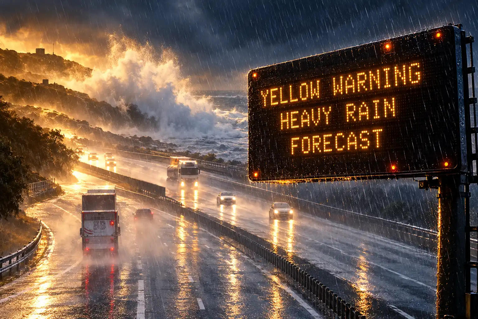
For Scotland the first punch is water. A yellow rain warning covers southern and eastern districts from 06:00 until midnight on Friday, 23 October. Totals of 20-40mm are expected widely inside that area, with 60-80mm in some spots, enough for flooding and slower journeys in a few places. The rain is due to ease from the west through Friday evening, and Austen itself is forecast to clear into the North Sea by then.
A brief ridge of higher pressure follows overnight Friday into Saturday. It is a pause, not a reset. Rain spills back across the UK through Saturday, most often over western Scotland, while wind strength builds through the day.
Storm Boelo will bring strong winds and heavy rain to Northern Ireland, Scotland and parts of northern England over the weekend, impacting the opposite end of the country to Storm Austen. Gusts of 70-80mph in exposed coastal areas and high ground are possible, with 50-60mph gusts more widely. The strong winds will be accompanied by heavy rain, making for an impactful weekend of weather.
Chris Bulmer, Met Office deputy chief forecaster, 22 October 2026
The yellow wind warning for mainland Scotland also covers the Western Isles, Orkney and the far north of England from 18:00 on Saturday, 24 October, until 21:00 on Sunday, 25 October. Official warning text puts widespread gusts at 55-65mph, with 70-80mph in more exposed coastal spots. Northern Ireland has its own yellow from 18:00 Saturday to 15:00 Sunday, for 50-60mph widely and 65-75mph in exposed regions.
By Sunday, much of England and Wales is forecast to turn drier, if still blustery. The north keeps the wind and the rain for longer, easing from the south-west later in the day.
James Peacock, head meteorologist at MetSwift, noted on 22 October that some model runs a week earlier had Austen deepening further and tracking further north, which would have thrown severe gales across much of southern England. That track did not play out. Scotland’s named-storm problem this pair is the other way round: it missed Austen’s hardest winds and still has to take Boelo’s after a wet Friday.
Why Wet Soil and Full Leaves Raise the Stakes
Chief forecaster Neil Armstrong, updating Austen’s southern warnings, said this was the first stormy weather of the season in the south of the UK and that trees still in leaf made fallen branches and trees more likely to block roads and railways. Late October is the same calendar in Scotland. Leaves that would be gone in January still catch the wind, and Friday’s rain will have been in the soil for only a few hours when Saturday’s gusts arrive.
SEPA has already moved the flood problem through the country in two steps. On Friday the agency’s concern sits around Fife, Edinburgh, the Lothians and the Scottish Borders. On Saturday it extends around western and coastal areas. Impacts listed include flooded roads and properties and disruption to transport. Eleven flood alerts were posted for Scottish areas including Aberdeenshire and Aberdeen City, Ayrshire and Arran, Central, Dumfries and Galloway, Dundee and Angus, Edinburgh and Lothians, Fife, Findhorn, Nairn, Moray and Speyside, the Scottish Borders, Tayside and West Central Scotland. A SEPA spokesperson said people should stay vigilant and that it is their responsibility to protect themselves and their property, with advice on the agency site and via Floodline on 0345 988 1188.
The agency’s three-day Scottish flood forecast is the live map for those alerts as the two lows go through.
From Friday, a period of extended wet and windy weather will bring disruption to large parts of Scotland across the weekend as two named storms, Storm Austen and Storm Boelo, sweep their way across the UK.
On Friday, possible flooding impacts are expected with particular concern… pic.twitter.com/BDWvs2PkZ3
— SEPAFlood (@SEPAFlood) October 22, 2026
Network Rail Scotland puts the same sequence in operational language. Persistent heavy rain floods the railway. Strong winds then bring down trees and blow debris onto tracks. SP Energy Networks, which supplies central and southern Scotland, told customers to charge devices, keep a torch handy and save 105, and to stay well back from any fallen line. Power cuts can also knock out mobile coverage.
This is not a red warning. Both Scottish alerts are yellow, which is a lower rung than the amber wind warning Austen carries for Cornwall, the Isles of Scilly and parts of west Devon from 01:00 on Friday. The combination still matters because the ground and the canopy will not have had a dry week to recover. Loose bins, plant pots, garden furniture and trampolines are the household list the Met Office wants secured before Boelo’s winds build on Saturday.
Two Yellow Warnings on Consecutive Days
Austen is the rain storm for Scotland and the wind storm for the south-west. Boelo is the wind storm for the north, with more rain attached. They are not two passes of the same low.
AUSTEN AND BOELO AT A GLANCE
| Detail | Storm Austen | Storm Boelo |
|---|---|---|
| Named | 20 October 2026 | 22 October 2026 |
| Scotland’s main hazard | Heavy rain | Strong wind, plus further rain |
| Scottish warning | Yellow rain, 06:00 to midnight, 23 October | Yellow wind, 18:00 24 October to 21:00 25 October |
| Headline figures | 20-40mm widely, 60-80mm in some places | 55-65mph widely, 70-80mph on exposed coasts |
| Main Scottish area | Southern and eastern districts | Mainland, Western Isles and Orkney |
Further south, Austen’s amber window was brought forward to 01:00 on Friday, and a wider yellow wind area was stretched over western Wales until 17:00. A separate yellow for a large slice of England and Wales runs from 10:00 to 21:00 on Friday for gusts of 45-55mph. Winds in Hayle, Cornwall, had already strengthened before dawn on Friday, with frequent power flashes along the coast as that southern warning came into force.
Bulmer said severe weather warnings and forecast detail would keep developing, so the yellow for Boelo is not a locked final sheet. A named storm is issued when medium or high impacts are expected in the UK, Ireland or the Netherlands, which typically means an amber or red warning at some point in the event. Wind is the usual trigger; rain and snow can also qualify.
What Network Rail Is Changing on the Main Lines
On 22 October Network Rail Scotland met train operators about Austen’s rain arriving at the tail end of the system and about Boelo’s wet and windy spell on Saturday and Sunday. Specialist forecasters in the Scotland railway control room were already watching both lows. Friday’s plan is to slow trains rather than park them, so services can keep running through the worst of the rain.
WHAT CHANGES ON THE RAILWAY
- Friday rain: Speed restrictions on parts of the West Coast Main Line and East Coast Main Line, plus routes across southern and eastern Scotland, so journeys take longer but keep moving.
- Weekend wind: Further speed limits are expected in the worst-hit areas as Boelo crosses on Saturday and Sunday.
- English extras: Northern has posted pre-planned amendments through Monday on several routes, with fewer trains on lines such as Leeds to York via Harrogate and Blackburn to Manchester.
- The tree risk: Operators warn that strong winds can throw trees and debris onto the railway, which is why some services are being thinned before the gales arrive.
- Coaches: Scottish Citylink said on Friday morning it planned to run as normal under the yellow rain warning, with road conditions able to change that.
Craig Gorman, head of operational weather strategy at Network Rail Scotland, said the company cannot control the weather but can be as ready as possible, and that weekend disruption would be frustrating. Mark Ilderton, ScotRail’s service delivery director, said safety is the top priority and that the two storms raise the risk of flooding and disruption, and he told customers to check services before they travel.
@networkrail @transcotland @ScotRail @AvantiWestCoast @TPExpressTrains @LNER @CrossCountryUK @CalSleeper @LumoTravel 5/5
— Network Rail Scotland (@NetworkRailSCOT) October 22, 2026
The same wind window is already cancelling events that sit outdoors on Sunday. A market at Chatelherault in South Lanarkshire was pulled. In Northern Ireland the Antrim hurling final was postponed because of the Boelo warning. On the Cumbrian coast, the worry for Saturday night is familiar: trees around houses and old slate roofs, after a wet day, with the strongest gusts due overnight.
The Cleanup That Storm Franklin Interrupted
Back-to-back named storms are not new. They are the version of this weather that leaves the second crew working in the first storm’s mess. The Met Office’s report on February 2022 remains the clearest recent sheet.
THREE STORMS IN ONE FEBRUARY WEEK
- 16 February 2022: Storm Dudley crosses, with gusts of 58-69mph on some coasts. Thousands of homes lose power in parts of Cumbria, Yorkshire and Lancashire, and rail lines heading north to Glasgow and Edinburgh are disrupted.
- 18 February 2022: Storm Eunice brings two rare red warnings and a 122mph gust at Needles Old Battery on the Isle of Wight, an England record. Four people die in the UK and Ireland from falling trees. Over a million homes lose power. Schools and businesses close across Wales and the worst-hit parts of England.
- 20 to 21 February 2022: Storm Franklin’s winds hamper cleanup after Eunice. Persistent heavy rain through the whole spell floods about 400 properties, with severe warnings on several major rivers including the Severn.
Those three named storms in a week were the first such cluster since naming began in 2015. Austen and Boelo are not Eunice. Scotland’s warnings this time are yellow, and a ridge still sits between the two lows. The useful parallel is narrower: rain on already wet ground, then wind that arrives before trees are cleared and before rivers have dropped. Franklin did that in February. Boelo is being asked to do a milder version of it in October, when the leaves are still on.
Last season, 2025/26, the western Europe naming group only reached D, with Storm Dave in April 2026, plus knock-on impacts from storms named by other European desks. Some winters stay quiet. The 2023/24 list did not. This season’s list came in on 1 September and sat unused until 20 October, when Austen was called.
An Irish Pioneer and a Dutch Family Name
Austen is Met Éireann’s name, given for Austen Nagle, first director of the Irish Meteorological Service when it was set up in 1936. He had worked for the British meteorological office, stayed in the Irish post until 1948, then took a senior role with the US Weather Bureau. The choice marks 90 years of the Irish service in 2026. Boelo is KNMI’s, a nearly extinct given name from East Groningen, passed down the nominator’s family. Chloe, the next name, was picked by the Met Office after more than 130 nominations.
The three weather services share a 21-name list, seven each, and skip Q, U, X, Y and Z. More than 40,000 names were sent to the Met Office last year. Storms are named when amber or red warnings are likely in the UK, Ireland or the Netherlands. Holly Clements, Met Office head of warnings and guidance, said a name gives people a single thing to follow so they can act. After Storm Goretti in January 2026, surveys found 93% of people inside the amber area knew about the warnings, and 88% of them did something, such as staying in, skipping a drive or shopping earlier.
The naming scheme is in its twelfth year, running since 2015. KNMI joined the UK and Irish pairing in 2019. Deputy chief forecaster Tom Crabtree, naming Austen on 20 October, said the track was still being pinned down but that an impactful spell was coming, which is why the low got a name. Peak gusts above 70mph were possible on the most exposed southern coasts, with 50-60mph more widely in that warning area, and 20-30mm of rain in many southern places.
Boelo’s strongest winds are due to build through Saturday, peak overnight and run through much of Sunday before they ease from the south-west. Stay off cliff edges. Keep back from big waves. Check the train before you set out. The rain on Friday is the part Scotland cannot skip; the gales on Saturday night are the part that arrives after the ground is already wet.

Edinburgh Opens a 2027 Tour Built for Time Trials

Korda Maps Auður From Meðalland to Irvine Bay

Apple Music Films Its New Logo in Mineral Oil

Oppo Prices the Pad Mini Above India’s iPad Mini

Austen Soaks Scotland Before Boelo Brings Weekend Gales

Volkswagen Sells the Osnabruck Plant to Clear a Board Fight

Apple’s Foldable iPhone Hinges on Samsung Display Supply

Tata Motors’ Iveco Tender Opens as Holders Still Decide

Saksham Gaur Finds He Is His Own Company’s Client

Onimusha Way of the Sword Preload Hits a Windows 11 Wall
-
 AUTO2 months ago
Volkswagen Sells the Osnabruck Plant to Clear a Board Fight
-
 NEWS2 months ago
Apple’s Foldable iPhone Hinges on Samsung Display Supply
-
 AUTO2 months ago
Tata Motors’ Iveco Tender Opens as Holders Still Decide
-
 BUSINESS2 months ago
Saksham Gaur Finds He Is His Own Company’s Client
-
 GAMING2 months ago
Onimusha Way of the Sword Preload Hits a Windows 11 Wall
-

 BUSINESS2 months ago
Hyderabad 22-Carat Gold Jumps After a False Bargain
-

 ENTERTAINMENT3 years ago
What is SD on Amazon Prime? – All You Need to Know
-

 NEWS2 months ago
iQOO 16 Locks 8,400 mAh While 100W Charging Holds