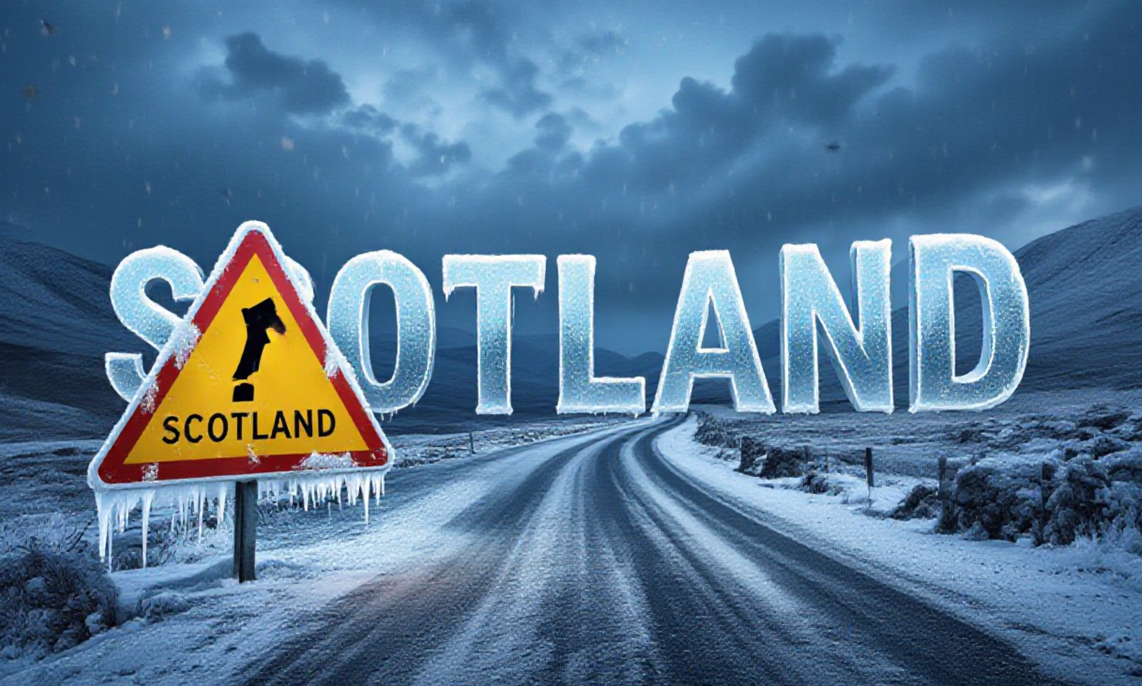
Scotland faces a severe double weather threat this week as meteorologists issue urgent alerts for the entire country. Heavy rain is currently battering eastern and western regions, raising flood risks on already saturated ground. This wet spell will quickly be followed by a sharp Arctic freeze, bringing snow and ice that could paralyze travel networks by Thursday evening.
Yellow Alerts for Rain and Flooding Risks
The Met Office has activated yellow weather warnings for rain that remain in force until midnight on Wednesday. Forecasters warn that persistent downpours are currently sweeping across Aberdeenshire, Angus, Fife, and parts of western Scotland.
The ground in these areas is already waterlogged from weeks of relentless storms. Meteorologists predict a further 15mm to 25mm of rainfall will wash over these regions widely today.
Key Rainfall Predictions:
- Widespread: 15-25mm across affected zones.
- High Ground: Up to 40mm possible in mountainous areas.
- Impact: Rapid surface water runoff and rising river levels.
Residents in the east, particularly around Dundee and Perth, are urged to remain vigilant. The sudden influx of water on sodden soil significantly increases the likelihood of localized flooding.
Countrywide Snow and Ice Warning Incoming
As the rain clears, a cold front from the north will seize the country. The Met Office has issued a comprehensive yellow warning for snow and ice covering the whole of Scotland. This alert comes into effect at 4pm on Thursday and lasts until midday Friday.
Temperatures are expected to plummet rapidly overnight. Freezing levels will drop, turning lingering rain into hazards on untreated surfaces.
Forecast for Thursday Night:
- High Altitudes (300m+): 5cm to 10cm of snow accumulation is likely, especially across the Grampians and Highlands.
- Low Levels: 1cm to 2cm of slushy snow may settle, creating treacherous conditions for Friday morning commuters.
- Temperature: Areas like Wick, Biggar, and Fort William could see the mercury dip to -2C.
Travel Disruption and Safety Advice
Commuters should brace for significant delays on both road and rail networks. Traffic Scotland has warned that driving conditions will become increasingly dangerous as standing water turns to black ice.
Rail passengers face immediate disruption. Network Rail has imposed emergency speed restrictions on key routes, including lines between Edinburgh, Glasgow, and Aberdeen.
Essential Travel Tips for Drivers:
- Stopping Distances: Increase your gap to the vehicle in front by ten times on icy roads.
- Preparation: Carry an emergency kit including a shovel, warm blanket, torch, and fully charged mobile phone.
- Route Planning: Check Traffic Scotland updates before setting off and stick to main gritted arteries where possible.
Bus replacements have already been requested for some rail services north of Dundee.Travelers are advised to check app updates frequently as cancellations may occur on short notice.
River Levels and Community Impact
The Scottish Environment Protection Agency (SEPA) remains on high alert. With river catchments full, even moderate rainfall can trigger immediate warnings.
Three specific Flood Warnings (Red) are currently active, indicating immediate action is required. The River Isla at Coupar Angus is of particular concern, alongside areas from Bridge of Ruthven to Leitfie.
Current SEPA Flood Status:
| Alert Level | Region/Area | Status |
|---|---|---|
| Red Warning | River Isla at Coupar Angus | Immediate Action Required |
| Red Warning | Aberbothrie | Flooding Expected |
| Amber Alert | Aberdeenshire & Aberdeen City | Be Prepared |
| Amber Alert | Dundee & Angus | Be Prepared |
| Amber Alert | Fife & West Central Scotland | Be Prepared |
Residents in these red zones should move valuable items to upper floors and install flood guards if available. The combination of high river levels and the incoming freeze could complicate flood recovery efforts significantly.
This volatile mix of rain followed by a deep freeze presents a serious challenge for emergency services. The transition from flood water to sheet ice on Thursday night will be the most critical window for safety.
We want to hear how the weather is affecting your area. Are you seeing snow yet, or is flooding the main issue? Share your photos and updates in the comments below using the hashtag #ScotlandWeather on X and Instagram to warn others in your community.
 Windows 11 KB5095093 Lands With Point-in-Time Restore and 35-Day Pause
  Meta Cuts Smart Glasses to $299 to Outflank Snap and Apple
  Messi Leads the 2026 World Cup Golden Boot Race After Two Matches
  Australia March On as Athapaththu Ton Lights Up T20 World Cup
  Galaxy Z Fold 8 Leak Reveals Colors, Storage, and a New Ultra Variant
  Ronaldo’s Six-World-Cup Record Leads a Matchday Full of Milestones